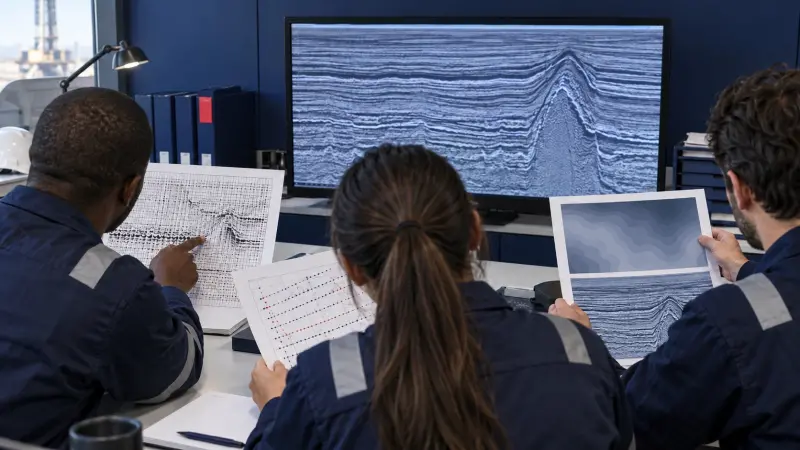
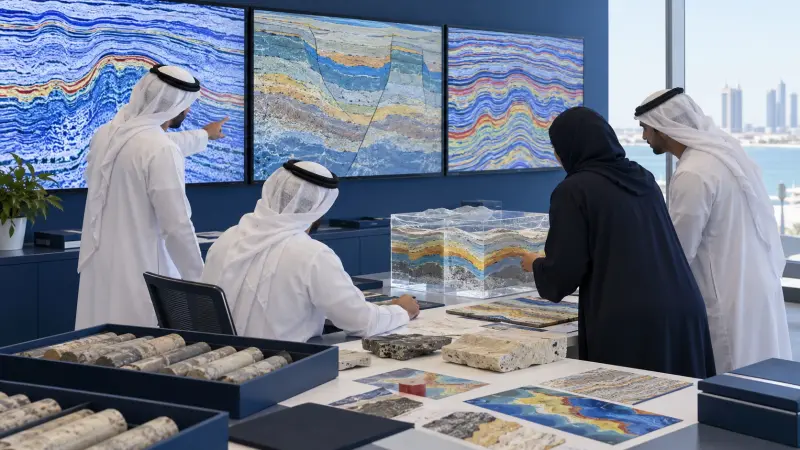
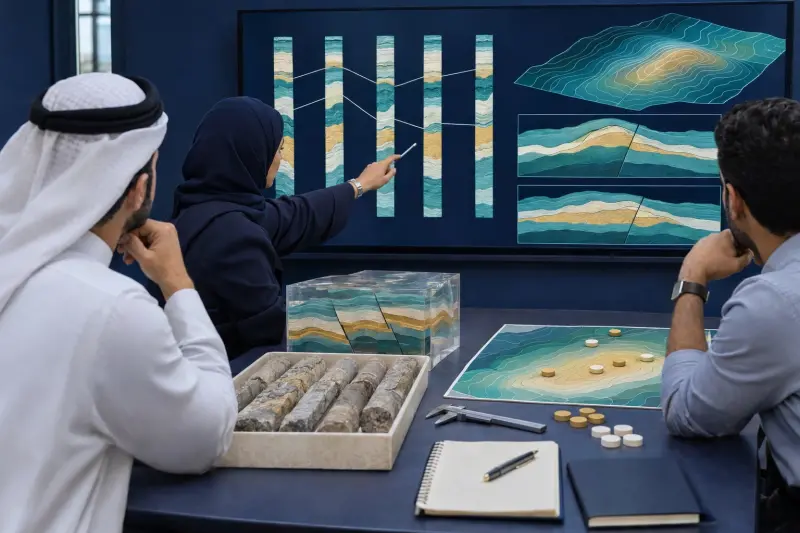
2D and 3D Seismic Interpretation Training Course

At a glance
- Duration
- 1 Week
- Format
- Classroom
- Cities
- Tashkent, Kuwait, San Diego, Accra, Muscat, Vienna and more
- Next session
- 8 – 12 November 2026, Tashkent
- Average fee
- 7,500 €
Overview
2D and 3D Seismic Interpretation Training Course is a one-week intermediate course for geophysicists, exploration geoscientists, development geologists, subsurface teams, and technical reviewers who leave with a 2D/3D Seismic Interpretation and Mapping File. Participants practice 2D and 3D seismic interpretation, seismic horizon and fault interpretation, seismic stratigraphic interpretation, seismic attribute interpretation, and seismic time-depth conversion. The course starts from processed seismic data and keeps geological reasoning, uncertainty, and interpretation quality central. Agile Leaders Training Center presents applied seismic interpretation and mapping.
Who Should Attend
- Functions responsible for interpreting seismic lines, volumes, horizons, and faults
- Exploration teams responsible for structural closures, stratigraphic features, and prospect maps
- Development teams responsible for field-scale structural and depositional frameworks
- Subsurface functions integrating seismic interpretation with wells and geological evidence
- Technical assurance teams responsible for interpretation review, uncertainty, and traceability
The course assumes participants use processed seismic sections and basic reflection terminology, and it leaves out acquisition design, processing parameter selection, production machine-learning development, and reserves certification.
Departments and Industries
The course supports departments and industries that interpret reflection seismic data for subsurface decisions.
- Oil and gas exploration, appraisal, and field development
- Geophysical services and subsurface consulting
- Geothermal, carbon storage, and underground-resource projects
- Exploration geophysics, development geology, and reservoir teams
- Technical assurance, subsurface data, and project evaluation functions
Learning Objectives
By the end of this course, participants will be able to:
- Analyze 2D lines and 3D volumes for interpretation readiness
- Build traceable horizon, fault, and well-tie interpretations
- Apply structural and seismic-stratigraphic interpretation methods
- Use attributes and maps to evaluate geological features
- Evaluate time-depth relationships and interpretation uncertainty
- Build an integrated prospect and interpretation review
Course Agenda
Day 1: Establish Interpretation Foundations
- Processed Seismic Data Orientation and Interpretation Readiness Checklist
- Polarity, Phase, Frequency, Resolution, and Display Convention Guide
- Reflection Character, Continuity, Amplitude, and Termination Framework
- Synthetic Seismogram and Seismic-Well Tie Review Sheet
- 2D Line, 3D Inline, Crossline, and Time-Slice Navigation Map
Day 2: Interpret Horizons and Faults
- Seed Selection and Seismic Horizon Picking Method
- Line Intersection, Mistie, and Loop-Closure Quality Check
- Fault Evidence, Throw, Dip, and Termination Interpretation Matrix
- Fault Framework, Correlation, and Fault-Block Construction Workflow
- Horizon-Fault Relationship and Interpretation Confidence Register
Day 3: Analyze Structure and Stratigraphy
- Fold, Fault, Unconformity, and Structural Style Analysis
- Reflection Termination and Seismic Sequence Boundary Method
- Onlap, Downlap, Truncation, and Toplap Interpretation Guide
- Depositional Geometry, Channel, Fan, and Carbonate Feature Map
- Structural and Stratigraphic Alternative Interpretation Board
Day 4: Build Attributes, Maps, and Depth Views
- Amplitude, Coherence, Curvature, and Dip Attribute Selection Matrix
- Time Structure, Isochron, and Attribute Map Construction Workflow
- Contour Quality, Closure, Spill Point, and Area Review Sheet
- Velocity Source and Seismic Time-Depth Conversion Concept Map
- Well Control, Map Integration, and Uncertainty Envelope Register
Day 5: Practice Integrated Seismic Interpretation
- Suggested Exercise: Tie Horizons across a 2D Seismic Grid
- Suggested Exercise: Build a 3D Fault and Horizon Framework
- Suggested Exercise: Interpret Structural and Stratigraphic Features
- Suggested Exercise: Review Attributes, Maps, and Depth Uncertainty
- Capstone Exercise: Complete the 2D/3D Seismic Interpretation and Mapping File
Practical Exercises
The course uses suggested activities to convert seismic evidence into documented geological interpretations.
- Suggested activity: orient processed 2D lines and 3D slices, confirm polarity, and record interpretation readiness.
- Suggested activity: pick horizons and faults, resolve intersection misties, and close interpretation loops.
- Suggested activity: compare structural and stratigraphic alternatives using reflection terminations and attributes.
- Suggested activity: construct time maps, test closures, integrate well control, and record uncertainty ranges.
FAQs
Who suits 2D and 3D seismic interpretation training, and what does it assume?
2D and 3D seismic interpretation training suits geophysicists, geologists, subsurface teams, and technical reviewers. It assumes familiarity with processed seismic sections and basic reflection terminology.
How does 2D and 3D seismic interpretation differ from acquisition and processing training?
2D and 3D seismic interpretation extracts geological meaning from processed lines and volumes. Acquisition and processing training concentrates on survey geometry, field records, signal conditioning, velocity processing, stacking, migration, and image quality.
How are horizons and faults interpreted in seismic data?
Horizons and faults are interpreted by combining reflection continuity, terminations, character, amplitude, intersections, time slices, attributes, well ties, structural relationships, and geological plausibility while recording uncertainty and alternatives.
Why are line ties and loop closure important in 2D seismic interpretation?
Line ties and loop closure expose horizon or fault misties at intersections and help maintain a consistent three-dimensional geological model from separate two-dimensional seismic images.
How are seismic time maps converted to depth?
Seismic time maps are converted using a suitable velocity model tied to available well and seismic information. The method must state velocity sources, assumptions, calibration, spatial variation, uncertainty, and limits of the resulting depth view.
Conclusion
Participants take back a 2D/3D Seismic Interpretation and Mapping File linking data readiness, well ties, horizons, faults, stratigraphy, attributes, maps, depth concepts, and uncertainty. It changes isolated picks and displays into a traceable geological interpretation. The file supports exploration reviews, field studies, prospect mapping, alternative testing, and technical assurance.
credits: 5 credit per day
Course Mode: full-time
Provider: Agile Leaders Training Center
-
Events for this Course
-
Tashkent 8 – 12 November 2026
-
Kuwait 15 – 19 November 2026
-
San Diego 23 – 27 November 2026
-
Accra 29 November – 3 December 2026
-
Muscat 6 – 10 December 2026
-
Vienna 14 – 18 December 2026
-
Chicago 20 – 24 December 2026
-
Trabzon 27 – 31 December 2026
-
Seoul 4 – 8 January 2027
-
Langkawi 10 – 14 January 2027
-
Milan 18 – 22 January 2027
-
Nairobi 31 January – 4 February 2027
-
Berlin 1 – 5 February 2027
-
Istanbul 15 – 19 February 2027
-
Singapore 15 – 19 February 2027
-
Dubai 22 – 26 February 2027
-
Manama 28 February – 4 March 2027
-
Addis Ababa 1 – 5 March 2027
-
Bali 7 – 11 March 2027
-
Doha 14 – 18 March 2027
-
Casablanca 22 – 26 March 2027
-
Nice 29 March – 2 April 2027
-
Tbilisi 5 – 9 April 2027
-
Tokyo 12 – 16 April 2027
-
Lisbon 12 – 16 April 2027
-
Jakarta 19 – 23 April 2027
-
Marbella 25 – 29 April 2027
-
Paris 3 – 7 May 2027
-
Rome 10 – 14 May 2027
-
Porto 10 – 14 May 2027
-
Amsterdam 17 – 21 May 2027
-
Munich 24 – 28 May 2027
-
London 31 May – 4 June 2027
-
Dubai 7 – 11 June 2027
-
Johannesburg 13 – 17 June 2027
-
Kuala Lumpur 21 – 25 June 2027
-
Madrid 28 June – 2 July 2027
-
Baku 5 – 9 July 2027
-
Abu Dhabi 5 – 9 July 2027
-
Amman 11 – 15 July 2027
-
Lagos 11 – 15 July 2027
-
Montreux 19 – 23 July 2027
-
Athens 26 – 30 July 2027
-
Bangkok 8 – 12 August 2027
-
New York 9 – 13 August 2027
-
Phuket 15 – 19 August 2027
-
Sharm El-Sheikh 23 – 27 August 2027
-
Frankfurt 23 – 27 August 2027
-
Barcelona 30 August – 3 September 2027
-
Abu Dhabi 30 August – 3 September 2027
-
London 6 – 10 September 2027
-
Geneva 19 – 23 September 2027
-
Zanzibar 26 – 30 September 2027
-
Cape town 3 – 7 October 2027
-
Toronto 10 – 14 October 2027
-
Cairo 18 – 22 October 2027
-
Zoom 25 – 29 October 2027
-
Prague 8 – 12 November 2027
| Image | Location | Dates | Duration | Mode | Price | Actions |
|---|---|---|---|---|---|---|

|
Casablanca |
Week 12, 2027 22 – 26 March 2027 |
1 Week | Onsite | €6,000 | |

|
Nice |
Week 13, 2027 29 March – 2 April 2027 |
1 Week | Onsite | €8,000 | |
|
Tbilisi |
Week 14, 2027 5 – 9 April 2027 |
1 Week | Onsite | €5,700 | |

|
Tokyo |
Week 15, 2027 12 – 16 April 2027 |
1 Week | Onsite | €12,000 | |

|
Lisbon |
Week 15, 2027 12 – 16 April 2027 |
1 Week | Onsite | €6,500 | |

|
Jakarta |
Week 16, 2027 19 – 23 April 2027 |
1 Week | Onsite | €8,000 | |

|
Marbella |
Week 16, 2027 25 – 29 April 2027 |
1 Week | Onsite | €6,500 | |

|
Paris |
Week 18, 2027 3 – 7 May 2027 |
1 Week | Onsite | €6,500 | |

|
Rome |
Week 19, 2027 10 – 14 May 2027 |
1 Week | Onsite | €6,500 | |

|
Porto |
Week 19, 2027 10 – 14 May 2027 |
1 Week | Onsite | €6,500 | |

|
Amsterdam |
Week 20, 2027 17 – 21 May 2027 |
1 Week | Onsite | €6,500 | |

|
Munich |
Week 21, 2027 24 – 28 May 2027 |
1 Week | Onsite | €6,500 | |

|
London |
Week 22, 2027 31 May – 4 June 2027 |
1 Week | Onsite | €6,500 | |

|
Dubai |
Week 23, 2027 7 – 11 June 2027 |
1 Week | Onsite | €6,500 | |
|
Johannesburg |
Week 23, 2027 13 – 17 June 2027 |
1 Week | Onsite | €6,000 | |

|
Kuala Lumpur |
Week 25, 2027 21 – 25 June 2027 |
1 Week | Onsite | €6,500 | |

|
Madrid |
Week 26, 2027 28 June – 2 July 2027 |
1 Week | Onsite | €6,500 | |

|
Baku |
Week 27, 2027 5 – 9 July 2027 |
1 Week | Onsite | €8,000 | |
|
Abu Dhabi |
Week 27, 2027 5 – 9 July 2027 |
1 Week | Onsite | €6,500 | |

|
Amman |
Week 27, 2027 11 – 15 July 2027 |
1 Week | Onsite | €6,000 |
Frequently asked questions
What does this course cover?
Overview2D and 3D Seismic Interpretation Training Course is a one-week intermediate course for geophysicists, exploration geoscientists, development geologists, subsurface teams, and technical reviewers who leave with a 2D/3D Seismic Interpretation and Mapping File. Participants practice 2D and 3D seismic interpretation, seismic horizon and fault interpre…
Are training dates available?
Yes. Available dates and destinations are listed in the course dates section on this page.
How can I register?
Choose an available date on this page and complete the registration form, or send a programme enquiry.
Can I download the course brochure?
Yes. Use the brochure download link provided on this page.
This course by city
- Oil & Gas Training and Other Technical Courses in Abu Dhabi
- Oil & Gas Training and Other Technical Courses in Accra
- Oil & Gas Training and Other Technical Courses in Addis Ababa
- Oil & Gas Training and Other Technical Courses in Amman
- Oil & Gas Training and Other Technical Courses in Amsterdam
- Oil & Gas Training and Other Technical Courses in Athens
- Oil & Gas Training and Other Technical Courses in Baku
- Oil & Gas Training and Other Technical Courses in Bali
- Oil & Gas Training and Other Technical Courses in Bangkok
- Oil & Gas Training and Other Technical Courses in Barcelona
- Oil & Gas Training and Other Technical Courses in Berlin
- Oil & Gas Training and Other Technical Courses in Cairo
- Oil & Gas Training and Other Technical Courses in Cape town
- Oil & Gas Training and Other Technical Courses in Casablanca
- Oil & Gas Training and Other Technical Courses in Chicago
- Oil & Gas Training and Other Technical Courses in Doha
- Oil & Gas Training and Other Technical Courses in Dubai
- Oil & Gas Training and Other Technical Courses in Frankfurt
- Oil & Gas Training and Other Technical Courses in Geneva
- Oil & Gas Training and Other Technical Courses in Istanbul
- Oil & Gas Training and Other Technical Courses in Jakarta
- Oil & Gas Training and Other Technical Courses in Johannesburg
- Oil & Gas Training and Other Technical Courses in Kuala Lumpur
- Oil & Gas Training and Other Technical Courses in Kuwait
- Oil & Gas Training and Other Technical Courses in Lagos
- Oil & Gas Training and Other Technical Courses in Langkawi
- Oil & Gas Training and Other Technical Courses in Lisbon
- Oil & Gas Training and Other Technical Courses in London
- Oil & Gas Training and Other Technical Courses in Madrid
- Oil & Gas Training and Other Technical Courses in Manama
- Oil & Gas Training and Other Technical Courses in Marbella
- Oil & Gas Training and Other Technical Courses in Milan
- Oil & Gas Training and Other Technical Courses in Montreux
- Oil & Gas Training and Other Technical Courses in Munich
- Oil & Gas Training and Other Technical Courses in Muscat
- Oil & Gas Training and Other Technical Courses in Nairobi
- Oil & Gas Training and Other Technical Courses in New York
- Oil & Gas Training and Other Technical Courses in Nice
- Oil & Gas Training and Other Technical Courses in Paris
- Oil & Gas Training and Other Technical Courses in Phuket
- Oil & Gas Training and Other Technical Courses in Porto
- Oil & Gas Training and Other Technical Courses in Prague
- Oil & Gas Training and Other Technical Courses in Rome
- Oil & Gas Training and Other Technical Courses in San Diego
- Oil & Gas Training and Other Technical Courses in Seoul
- Oil & Gas Training and Other Technical Courses in Sharm El-Sheikh
- Oil & Gas Training and Other Technical Courses in Singapore
- Oil & Gas Training and Other Technical Courses in Tashkent
- Oil & Gas Training and Other Technical Courses in Tbilisi
- Oil & Gas Training and Other Technical Courses in Tokyo
- Oil & Gas Training and Other Technical Courses in Toronto
- Oil & Gas Training and Other Technical Courses in Trabzon
- Oil & Gas Training and Other Technical Courses in Vienna
- Oil & Gas Training and Other Technical Courses in Zanzibar
- Oil & Gas Training and Other Technical Courses in Zoom