Urban Street Design and Multimodal Mobility Course
At a glance
- Duration
- 2 Weeks
- Format
- Classroom
- Cities
- London, Porto, Tokyo, Berlin, Lisbon, Barcelona and more
- Next session
- 26 October – 6 November 2026, London
- Average fee
- 9,850 €
Overview
Urban Street Design and Multimodal Mobility Course is a two-week advanced course for planners, transport engineers, street designers, mobility teams, and public-realm managers, who leave with a Street Design Implementation Plan. The course connects context-sensitive street networks, pedestrian and bicycle facilities, transit, intersections, safe speeds, curb management, freight, public space, green infrastructure, design review, and performance. It treats streets as movement systems and public places without implying external endorsement. Agile Leaders Training Center develops practical capability in urban street design and multimodal mobility.
Who Should Attend
Teams responsible for street networks, corridor plans, and multimodal space allocation
Personnel designing pedestrian, bicycle, transit, intersection, and accessibility improvements
Functions coordinating traffic operations, curbs, freight, deliveries, parking, and access
Managers directing public-realm, green-infrastructure, and climate-resilience projects
Professionals reviewing street concepts, pilots, capital delivery, and performance evidence
The course assumes participants already work with urban planning, transport, civil design, public realm, or mobility operations and leaves out introductory drafting and jurisdiction-specific design approval.
Departments and Industries
The course supports organizations that plan, design, operate, fund, or manage urban streets and public spaces.
Urban planning and transport authorities
Engineering, architecture, and public-realm consultancies
Transit operators and mobility-service organizations
Property development and district-management teams
Utilities, logistics, freight, and delivery services
Universities, research centers, and community organizations
Learning Objectives
By the end of this course, participants will be able to:
Analyze street context, network roles, users, demand, and operating constraints
Build multimodal allocation, pedestrian, bicycle, transit, and accessibility designs
Apply intersection, safe-speed, curb, freight, and delivery controls
Evaluate public-realm, green-infrastructure, resilience, and utility decisions
Use design-review, pilot, delivery, and performance evidence to improve proposals
Prioritize phased street transformations in an implementation plan
Course Agenda
Day 1: Street Purpose, Context, and Outcomes
Street Purpose and Public-Value Framework
Context and Land-Use Classification Matrix
Existing Conditions and Constraint Audit
Street User Equity and Accessibility Needs Map
Project Outcomes and Performance Charter
Day 2: Network Planning and Space Allocation
Multimodal Street Network Hierarchy
Movement and Place Function Matrix
Right-of-Way Allocation and Tradeoff Model
Street Typology and Cross-Section Library
Network Gap and Connectivity Assessment
Day 3: Walking and Universal Access
Pedestrian Desire-Line and Catchment Map
Sidewalk Zone and Clear-Path Design
Accessible Crossing and Refuge-Island Checklist
Corner Geometry and Visibility Review
Walking Comfort and Delay Scorecard
Day 4: Cycling and Micromobility Facilities
Bicycle Network and Facility-Selection Matrix
Protected Cycle Track Cross-Section
Intersection Conflict and Turning-Movement Map
Transit Stop and Cycle Facility Interface Plan
Micromobility Parking and Operating Zone Layout
Day 5: Transit Streets and Passenger Access
Transit Corridor Function and Reliability Map
Transit Lane and Priority-Treatment Matrix
Stop Placement and Accessible Boarding Plan
Passenger Queue and Transfer-Space Layout
Transit Signal and Intersection Operations Review
Day 6: Intersections and Safe Speeds
Intersection Form and Conflict-Point Assessment
Design Speed and Speed-Management Toolkit
Crossing Distance and Corner-Radius Test
Signal Phasing and Cycle-Length Review
Safe-System Street Risk Register
Day 7: Curbs, Freight, and Street Operations
Curb Demand and User-Priority Inventory
Time-Based Curb Allocation Plan
Freight, Loading, and Delivery Access Map
Parking, Pickup, and Drop-Off Operating Rules
Curb Performance and Enforcement Dashboard
Day 8: Public Realm and Climate Resilience
Public-Space Activity and Frontage Analysis
Street Furniture and Amenity Placement Plan
Green Infrastructure and Stormwater Treatment Map
Shade, Heat, and Climate-Exposure Assessment
Utilities and Streetscape Coordination Register
Day 9: Design Review and Implementation
Multidisciplinary Street Design Review Gate
Concept, Preliminary, and Detailed Design Checklist
Pilot-to-Permanent Delivery Roadmap
Stakeholder and Community Engagement Matrix
Construction Staging and Access Continuity Plan
Day 10: Street Design Simulation
Exercise: Context Classification and Network Priority
Exercise: Multimodal Cross-Section Tradeoff
Exercise: Intersection, Curb, and Transit Conflict Resolution
Exercise: Public-Realm, Resilience, and Delivery Decision
Capstone Exercise: Street Design Implementation Plan
Practical Exercises
The course uses suggested activities that connect street-design choices with user, network, operating, and delivery evidence.
Suggested activity: diagnose a corridor using context, users, movement, place, and safety evidence
Suggested activity: compare multimodal cross-sections under a constrained right-of-way
Suggested activity: resolve an intersection and curb conflict involving transit, freight, and access
Suggested activity: assemble a Street Design Implementation Plan
FAQs
Who suits urban street design and multimodal mobility training?
Urban street design and multimodal mobility training suits experienced planners, engineers, designers, operations teams, transit staff, public-realm managers, and consultants. It assumes practical responsibility for streets, mobility, infrastructure, or public space.
How does urban street design differ from general transport planning?
Urban street design converts mobility and place objectives into street sections, intersections, pedestrian and bicycle facilities, transit treatments, curb rules, public-realm elements, and delivery details. General transport planning more often addresses demand, networks, services, policy, and investment at broader scales.
How should multimodal street space be allocated?
Multimodal street space should be allocated from context, user needs, network function, safety, accessibility, transit demand, freight access, public life, environmental conditions, and measurable outcomes. The process should document tradeoffs rather than preserve existing vehicle space by default.
What belongs in an urban street design review?
An urban street design review should test context, cross-sections, accessibility, crossings, speeds, conflicts, transit operations, bicycle continuity, curb demand, freight, drainage, utilities, public realm, resilience, maintenance, staging, cost, and performance measures.
Which measures support multimodal street performance?
Multimodal street performance measures should connect safety, walking and cycling continuity, accessibility, transit reliability, person movement, vehicle operations, curb use, loading, public-space activity, heat, stormwater, user experience, maintenance, and delivery progress to design decisions.
Conclusion
Participants leave with a Street Design Implementation Plan connecting context, networks, walking, cycling, transit, intersections, speeds, curbs, freight, public realm, resilience, review, and delivery. The plan replaces mode-by-mode decisions with documented multimodal tradeoffs. It gives teams a practical basis for design approval, phased implementation, and performance improvement.
credits: 5 credit per day
Course Mode: full-time
Provider: Agile Leaders Training Center
-
Events for this Course
-
London 26 October – 6 November 2026
-
Porto 26 October – 6 November 2026
-
Tokyo 2 – 13 November 2026
-
Berlin 2 – 13 November 2026
-
Lisbon 9 – 20 November 2026
-
Barcelona 16 – 27 November 2026
-
Nice 16 – 27 November 2026
-
Cape town 22 November – 3 December 2026
-
Istanbul 23 November – 4 December 2026
-
Rome 30 November – 11 December 2026
-
Athens 30 November – 11 December 2026
-
Trabzon 6 – 17 December 2026
-
Dubai 7 – 18 December 2026
-
Chicago 13 – 24 December 2026
-
Baku 14 – 25 December 2026
-
Madrid 21 December 2026 – 1 January 2027
-
Geneva 27 December 2026 – 7 January 2027
-
Munich 28 December 2026 – 8 January 2027
-
Kuwait 3 – 14 January 2027
-
London 4 – 15 January 2027
-
Seoul 11 – 22 January 2027
-
Tbilisi 18 – 29 January 2027
-
Cairo 25 January – 5 February 2027
-
New York 25 January – 5 February 2027
-
Paris 1 – 12 February 2027
-
Abu Dhabi 1 – 12 February 2027
-
Bali 7 – 18 February 2027
-
Zanzibar 14 – 25 February 2027
-
Manama 21 February – 4 March 2027
-
Dubai 1 – 12 March 2027
-
Montreux 8 – 19 March 2027
-
Accra 14 – 25 March 2027
-
Madrid 15 – 26 March 2027
-
Amsterdam 22 March – 2 April 2027
-
Frankfurt 22 March – 2 April 2027
-
Barcelona 29 March – 9 April 2027
-
Singapore 29 March – 9 April 2027
-
London 5 – 16 April 2027
-
Sharm El-Sheikh 12 – 23 April 2027
-
Langkawi 18 – 29 April 2027
-
Casablanca 19 – 30 April 2027
-
Muscat 25 April – 6 May 2027
-
Prague 26 April – 7 May 2027
-
Nairobi 2 – 13 May 2027
-
Vienna 3 – 14 May 2027
-
Kuala Lumpur 10 – 21 May 2027
-
Dubai 17 – 28 May 2027
-
Abu Dhabi 17 – 28 May 2027
-
London 31 May – 11 June 2027
-
San Diego 31 May – 11 June 2027
-
Jakarta 14 – 25 June 2027
-
Amsterdam 21 June – 2 July 2027
-
Milan 28 June – 9 July 2027
-
Phuket 4 – 15 July 2027
-
Paris 5 – 16 July 2027
-
Amman 11 – 22 July 2027
-
Abu Dhabi 12 – 23 July 2027
-
Manama 18 – 29 July 2027
-
Bangkok 25 July – 5 August 2027
-
Vienna 2 – 13 August 2027
-
Marbella 8 – 19 August 2027
-
Istanbul 9 – 20 August 2027
-
Dubai 16 – 27 August 2027
-
Johannesburg 22 August – 2 September 2027
-
Tashkent 29 August – 9 September 2027
-
Zoom 30 August – 10 September 2027
-
Amsterdam 6 – 17 September 2027
-
Kuala Lumpur 13 – 24 September 2027
-
Rome 20 September – 1 October 2027
-
Abu Dhabi 20 September – 1 October 2027
-
Lagos 26 September – 7 October 2027
-
Milan 27 September – 8 October 2027
-
Toronto 10 – 21 October 2027
-
Cairo 11 – 22 October 2027
-
Doha 17 – 28 October 2027
| Image | Location | Dates | Duration | Mode | Price | Actions |
|---|---|---|---|---|---|---|

|
Seoul |
Week 02, 2027 11 – 22 January 2027 |
2 Weeks | Onsite | €15,000 | |

|
Tbilisi |
Week 03, 2027 18 – 29 January 2027 |
2 Weeks | Onsite | €8,800 | |

|
Cairo |
Week 04, 2027 25 January – 5 February 2027 |
2 Weeks | Onsite | €7,000 | |

|
New York |
Week 04, 2027 25 January – 5 February 2027 |
2 Weeks | Onsite | €16,000 | |

|
Paris |
Week 05, 2027 1 – 12 February 2027 |
2 Weeks | Onsite | €10,000 | |

|
Abu Dhabi |
Week 05, 2027 1 – 12 February 2027 |
2 Weeks | Onsite | €8,000 | |

|
Bali |
Week 05, 2027 7 – 18 February 2027 |
2 Weeks | Onsite | €10,000 | |
|
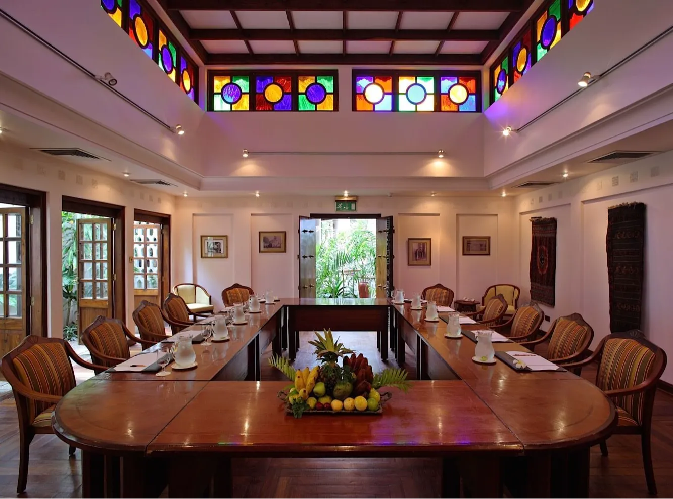
Zanzibar |
Week 06, 2027 14 – 25 February 2027 |
2 Weeks | Onsite | €9,000 | |
|
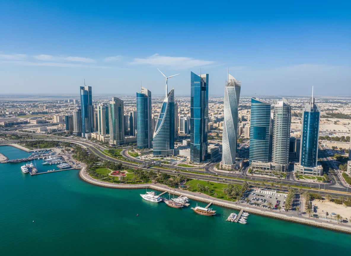
Manama |
Week 07, 2027 21 February – 4 March 2027 |
2 Weeks | Onsite | €8,000 | |

|
Dubai |
Week 09, 2027 1 – 12 March 2027 |
2 Weeks | Onsite | €8,500 | |
|
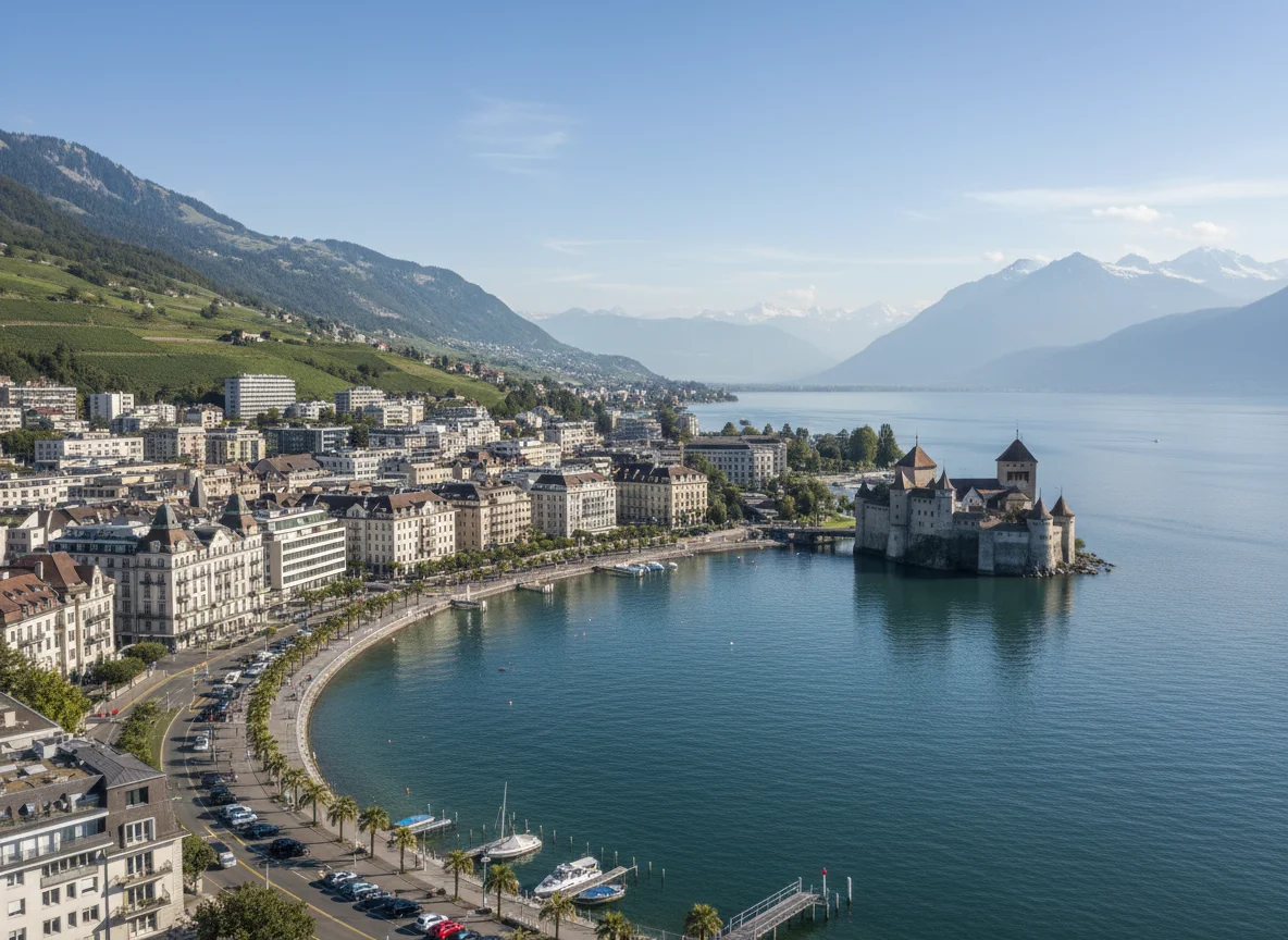
Montreux |
Week 10, 2027 8 – 19 March 2027 |
2 Weeks | Onsite | €15,000 | |

|
Accra |
Week 10, 2027 14 – 25 March 2027 |
2 Weeks | Onsite | €5,800 | |

|
Madrid |
Week 11, 2027 15 – 26 March 2027 |
2 Weeks | Onsite | €10,000 | |

|
Amsterdam |
Week 12, 2027 22 March – 2 April 2027 |
2 Weeks | Onsite | €10,000 | |

|
Frankfurt |
Week 12, 2027 22 March – 2 April 2027 |
2 Weeks | Onsite | €10,000 | |
|
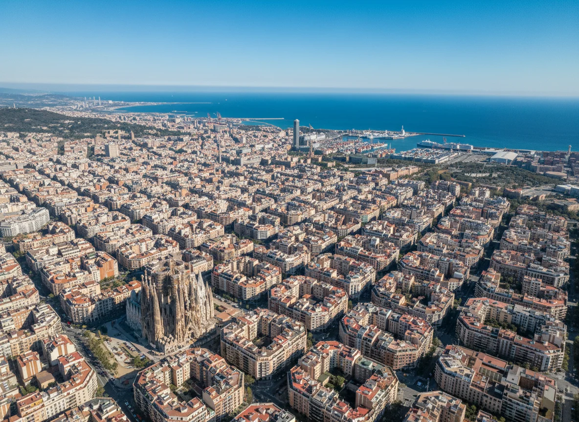
Barcelona |
Week 13, 2027 29 March – 9 April 2027 |
2 Weeks | Onsite | €10,000 | |

|
Singapore |
Week 13, 2027 29 March – 9 April 2027 |
2 Weeks | Onsite | €10,000 | |

|
London |
Week 14, 2027 5 – 16 April 2027 |
2 Weeks | Onsite | €10,000 | |

|
Sharm El-Sheikh |
Week 15, 2027 12 – 23 April 2027 |
2 Weeks | Onsite | €7,000 | |

|
Langkawi |
Week 15, 2027 18 – 29 April 2027 |
2 Weeks | Onsite | €10,000 |
Frequently asked questions
What does this course cover?
OverviewUrban Street Design and Multimodal Mobility Course is a two-week advanced course for planners, transport engineers, street designers, mobility teams, and public-realm managers, who leave with a Street Design Implementation Plan. The course connects context-sensitive street networks, pedestrian and bicycle facilities, transit, intersections, safe s…
Are training dates available?
Yes. Available dates and destinations are listed in the course dates section on this page.
How can I register?
Choose an available date on this page and complete the registration form, or send a programme enquiry.
Can I download the course brochure?
Yes. Use the brochure download link provided on this page.
This course by city
- Facilities and Real Estate Training Courses in Abu Dhabi
- Facilities and Real Estate Training Courses in Accra
- Facilities and Real Estate Training Courses in Amman
- Facilities and Real Estate Training Courses in Amsterdam
- Facilities and Real Estate Training Courses in Athens
- Facilities and Real Estate Training Courses in Baku
- Facilities and Real Estate Training Courses in Bali
- Facilities and Real Estate Training Courses in Bangkok
- Facilities and Real Estate Training Courses in Barcelona
- Facilities and Real Estate Training Courses in Berlin
- Facilities and Real Estate Training Courses in Cairo
- Facilities and Real Estate Training Courses in Cape town
- Facilities and Real Estate Training Courses in Casablanca
- Facilities and Real Estate Training Courses in Chicago
- Facilities and Real Estate Training Courses in Doha
- Facilities and Real Estate Training Courses in Dubai
- Facilities and Real Estate Training Courses in Frankfurt
- Facilities and Real Estate Training Courses in Geneva
- Facilities and Real Estate Training Courses in Istanbul
- Facilities and Real Estate Training Courses in Jakarta
- Facilities and Real Estate Training Courses in Johannesburg
- Facilities and Real Estate Training Courses in Kuala Lumpur
- Facilities and Real Estate Training Courses in Kuwait
- Facilities and Real Estate Training Courses in Lagos
- Facilities and Real Estate Training Courses in Langkawi
- Facilities and Real Estate Training Courses in Lisbon
- Facilities and Real Estate Training Courses in London
- Facilities and Real Estate Training Courses in Madrid
- Facilities and Real Estate Training Courses in Manama
- Facilities and Real Estate Training Courses in Marbella
- Facilities and Real Estate Training Courses in Milan
- Facilities and Real Estate Training Courses in Montreux
- Facilities and Real Estate Training Courses in Munich
- Facilities and Real Estate Training Courses in Muscat
- Facilities and Real Estate Training Courses in Nairobi
- Facilities and Real Estate Training Courses in New York
- Facilities and Real Estate Training Courses in Nice
- Facilities and Real Estate Training Courses in Paris
- Facilities and Real Estate Training Courses in Phuket
- Facilities and Real Estate Training Courses in Porto
- Facilities and Real Estate Training Courses in Prague
- Facilities and Real Estate Training Courses in Rome
- Facilities and Real Estate Training Courses in San Diego
- Facilities and Real Estate Training Courses in Seoul
- Facilities and Real Estate Training Courses in Sharm El-Sheikh
- Facilities and Real Estate Training Courses in Singapore
- Facilities and Real Estate Training Courses in Tashkent
- Facilities and Real Estate Training Courses in Tbilisi
- Facilities and Real Estate Training Courses in Tokyo
- Facilities and Real Estate Training Courses in Toronto
- Facilities and Real Estate Training Courses in Trabzon
- Facilities and Real Estate Training Courses in Vienna
- Facilities and Real Estate Training Courses in Zanzibar
- Facilities and Real Estate Training Courses in Zoom