Development Geology for Field Planning Training Course

Course Details
-
# 1727_229686
-
12 – 16 July 2027 16.Jul.2027
-
Kuala Lumpur
-
6500 €
Overview
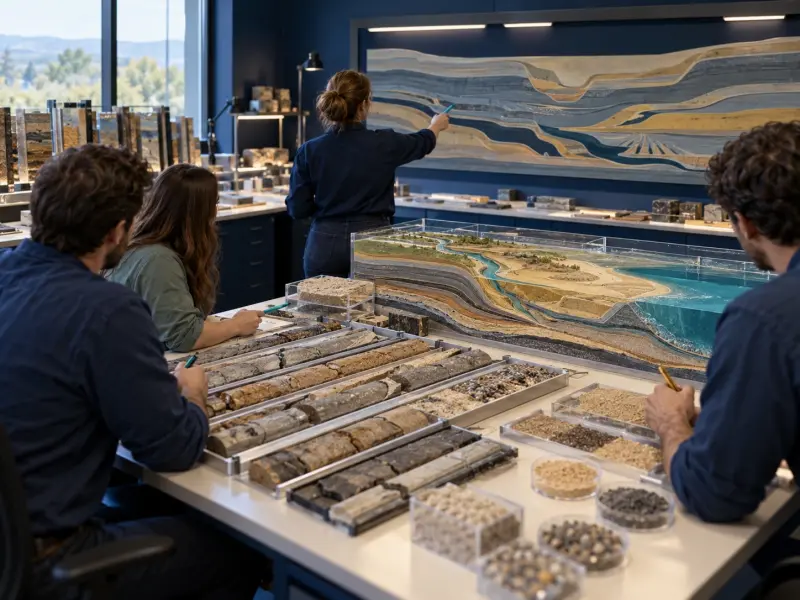
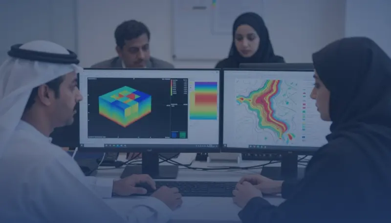
Development Geology for Field Planning Training Course is a one-week course for development geologists, reservoir geologists, and subsurface professionals who leave with a Geological Field Planning Evidence Pack. Participants integrate structural interpretation, stratigraphic correlation, depositional facies, well and seismic evidence, reservoir characterization, geological uncertainty, and volumetric ranges into development decisions. The course keeps geology central while defining interfaces with petrophysics and reservoir engineering. Agile Leaders Training Center delivers development geology for field planning.
Who Should Attend
- Geoscience functions responsible for geological inputs to field development studies
- Subsurface teams responsible for integrating well, seismic, core, and log evidence
- Asset functions responsible for reservoir correlation, mapping, and uncertainty ranges
- Technical assurance functions responsible for challenging geological development cases
- Petroleum professionals responsible for multidisciplinary development planning interfaces
The course assumes participants interpret subsurface data or contribute to development studies, and it leaves out exploration prospect risking, standalone petrophysics, geostatistical software operation, and dynamic reservoir simulation.
Departments and Industries
The course supports departments and industries that convert subsurface evidence into development-stage decisions.
- Development geology, reservoir geology, and geophysics functions
- Reservoir engineering, petrophysics, and integrated asset teams
- Oil and gas operators, joint ventures, and technical consultancies
- Energy project assurance and investment planning functions
- Subsurface data management and field development support teams
Learning Objectives
By the end of this course, participants will be able to:
- Apply structural and stratigraphic interpretation to development mapping
- Use well, core, log, and seismic evidence for reservoir correlation
- Build facies and reservoir architecture concepts for development decisions
- Analyze contacts, net reservoir, and volumetric ranges
- Evaluate geological uncertainty and development implications
- Build a geological evidence pack for field planning
Course Agenda
Day 1: Development Geology Framework
- Field Development Decision and Geoscience Interface Map
- Subsurface Data Inventory and Quality Register
- Well, Core, Log, and Seismic Evidence Hierarchy
- Geological Concept and Assumption Log
- Development Data Gap Prioritization Matrix
Day 2: Structure and Correlation
- Seismic Horizon and Fault Interpretation Workflow
- Depth Conversion Assumption Review
- Structural Framework and Compartment Map
- Well Correlation Panel Construction Method
- Stratigraphic Marker Confidence Record
Day 3: Facies and Reservoir Architecture
- Core and Log Facies Classification Scheme
- Depositional Environment Interpretation Matrix
- Sequence Stratigraphic Framework Builder
- Reservoir Connectivity and Barrier Concept Map
- Facies Architecture Alternative Scenario Set
Day 4: Volumetrics and Uncertainty
- Fluid Contact and Free-Water-Level Evidence Table
- Gross Rock Volume Mapping Workflow
- Net Reservoir and Pay Cutoff Interface Checklist
- Low, Base, and High Geological Case Builder
- Geological Uncertainty and Development Impact Register
Day 5: Development Geology Practice
- Exercise: Structural Map and Compartment Review
- Exercise: Well Correlation and Facies Scenario Challenge
- Exercise: Volumetric Range and Sensitivity Review
- Exercise: Geological Risk and Data Acquisition Prioritization
- Capstone Exercise: Geological Field Planning Evidence Pack
Practical Exercises
The course uses suggested activities based on clastic and carbonate development settings.
- Suggested activity: reconcile a fault framework with well ties and identify compartment uncertainty.
- Suggested activity: construct a correlation panel and compare alternative facies architecture concepts.
- Suggested activity: calculate low, base, and high geological volume inputs from mapped evidence.
- Suggested activity: present geological risks, data gaps, and recommendations at a development decision gate.
FAQs
Who suits development geology for field planning, and what does it assume?
Development geologists, reservoir geologists, and subsurface professionals suit the course. It assumes experience interpreting geological or geophysical evidence and contributing to development-stage technical work.
How does development geology differ from exploration geology?
Development geology concentrates on reservoir definition, well correlation, compartmentalization, volumes, uncertainty, and well-placement support after discovery, while exploration geology concentrates on identifying and risking undiscovered prospects.
What is reservoir characterization in development geology?
Reservoir characterization integrates structure, stratigraphy, facies, rock properties, contacts, and spatial uncertainty into a geological description that supports development choices and interfaces with dynamic modeling.
How does geological uncertainty affect field planning?
Geological uncertainty changes volume ranges, connectivity assumptions, well counts, placement options, data needs, and the robustness of development scenarios. It should be carried explicitly rather than hidden in one deterministic map.
What geological work product supports a field development plan?
A geological field planning evidence pack connects maps, correlations, facies concepts, contacts, volumetric ranges, uncertainty cases, data gaps, and decision implications in a traceable form.
Conclusion
Participants take a Geological Field Planning Evidence Pack back to work. It connects structural interpretation, reservoir correlation, facies architecture, volumetric ranges, uncertainty, and data priorities to development decisions. The pack changes geological interpretation from a collection of maps into a traceable basis for multidisciplinary field planning.
Oil & Gas Training and Other Technical Courses
Development Geology for Field Planning Course (1727_229686)
Course Details
# 1727_229686
12 – 16 July 2027
Kuala Lumpur
Fees : 6500 €
Development Geology for Field Planning Training Course runs in Kuala Lumpur over 5 days, with 1 upcoming date in Kuala Lumpur. The course fee is 6,500 €.
All dates in Kuala Lumpur
| Dates | Price | Actions |
|---|---|---|
| 12 – 16 July 2027 | 6,500 € | Register |
Training in Kuala Lumpur
Experience our high-quality training courses in Kuala Lumpur, Malaysia's bustling capital Training courses in Malaysia.
All courses in Kuala LumpurThis course in other cities
- Abu Dhabi
- Accra
- Addis Ababa
- Amman
- Amsterdam
- Athens
- Baku
- Bali
- Bangkok
- Barcelona
- Berlin
- Cairo
- Cape town
- Casablanca
- Chicago
- Doha
- Dubai
- Frankfurt
- Geneva
- Istanbul
- Jakarta
- Johannesburg
- Kuwait
- Lagos
- Langkawi
- Lisbon
- London
- Madrid
- Manama
- Marbella
- Milan
- Montreux
- Munich
- Muscat
- Nairobi
- New York
- Nice
- Paris
- Phuket
- Porto
- Prague
- Rome
- San Diego
- Seoul
- Sharm El-Sheikh
- Singapore
- Tashkent
- Tbilisi
- Tokyo
- Toronto
- Trabzon
- Vienna
- Zanzibar
- Zoom